Future land use and its impact to development
Most, if not all, municipalities assess permit applications for construction and development on several parameters. For example, whether or not the proposed project will coexist with the existing land use of the area around it or not. This is often key to understanding approval/denial of your project. Also, you may question whether to modify existing development or undertake new construction.
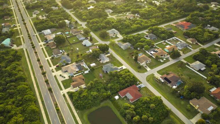
Existing land use surveying often helps determine the future land uses in an area. This is accomplished through zoning, based on existing land use. Cities and towns generally endeavor to keep commercial properties separate from forested land. They also try to permit new farms in agricultural areas instead suburban or residential areas, etc. Existing land use categories are generally broken down into residential, commercial/industrial, agricultural, transportation, and protected open space.
These categories are subdivided from there. For example, “residential” may have subdivisions of single family urban, single family suburban, and multifamily. Your local zoning board will designate specific areas of the town or city for specific land uses. Meanwhile, your local planning board uses zoning and the existing land use of the city/town in developing comprehensive plans. These plans set out goals for the town to follow in guiding future land use.
Newport, RI as an example
In one example of how existing land use guides future land use, take Newport! Newport is about 54% residential, made up of mostly low- and medium-density. But, the City is now 90% built out. In a nod to its maritime industry:
“Newport’s current land uses and their patterns evolved from an early period where commerce was oriented around the harbor and a system of principal roads, which followed the shoreline and radiated out from the harbor. Being the southernmost community on a small island. . . limited the scale of industrial and manufacturing uses in Newport, with the notable exception of shipbuilding and marine oriented crafts.” Newport Comprehensive Land Use Plan, page 3-2 (February 2017), available at the link above.
Now, because the City has been mostly built out, Newport is focused on redevelopment and infill (vacant and under-developed lot) development projects. Due to its maritime history (the Navy, pirates, sailing, whaling, and rum runners, for starters), Newport has a “waterfront business” classification for land use. In this zone, preference is given to “water-dependent uses, especially on waterfront parcels.” The zoning code has districts for these waterfront businesses and for traditional maritime-related activities, both located along Newport Harbor.
What you need to move forward with your project
Now, in deciding where to develop, how do you design a project that meets local legal requirements? Enlisting the help of engineering and design firms goes a long way. So does having an attorney who understands land use and real estate/property issues. Land use attorneys specialize in advising clients on the ins and outs of real estate development.
An attorney will represent you at permitting hearings, and he or she will know the questions to ask of those who present during those hearings. This assists you in several ways. One, there will likely be less hearings before your project gains the approvals it needs, saving you money. Two, you have someone representing your project that understands all of the legal requirements. This includes understanding the existing land use in the area. Three, you can leave the permit application and contract deadlines to someone who’s dedicated to making sure each milestone deadline is met. This means that you can focus on other aspects of your development project.
Call Desautel Law – we can help you determine the future and existing land uses in the area of your development. We can move your project through the various permitting stages with ease. Contact us today at 401.477.0023 to learn more.


